
Shelter
Shelter i Brendstrup Skov
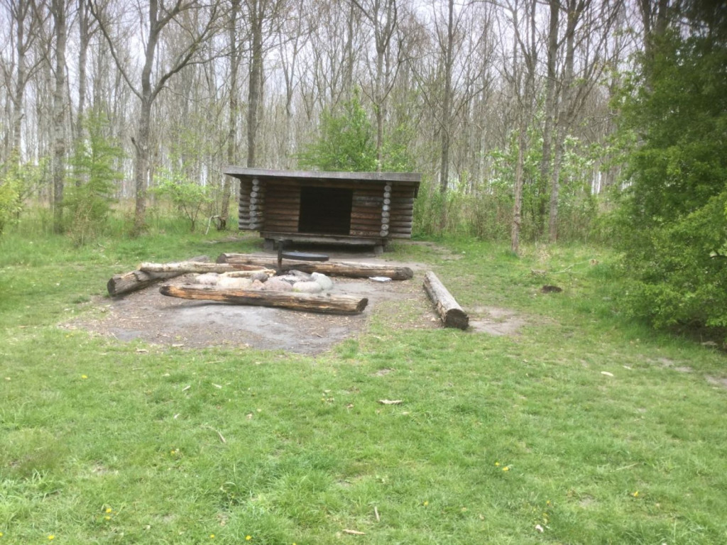
The shelter belongs to Aarhus Municipality and can be booked via [Book Naturen](https://booknaturen.aarhuskommune.dk/sted/shelter-i-brendstrup-skov/?s1=3012&s2=&s3=&s4=)
The shelter site with its associated campfire site is located at the easternmost end of Brendstrup Skov, west of the Marienlyst garden association and just north of Marienlystparken.
Brendstrup Skov is 83 hectares in size and consists mainly of dense stands with relatively young forest and exciting open grasslands. The forest also contains hilly areas and several small ponds, where various amphibian species live, etc. Marienlystparken has a playground, fitness equipment (calastenics), a golf course, a football field and running routes as well as a supercycle path towards Tilst.
For larger events, it is also recommended to book Brendstrup Skov itself and possibly Marienlystparken.
**Practical information**:
• When you book the shelter, you have automatically booked the associated campfire site.
• You must bring your own firewood from home.
• You are welcome to collect dry branches from the forest floor.
• There are no water or toilet facilities at the shelter.
• There is a single waste bin at the shelter.
**Route directions**: There is a driveway to the parking lot from Marienlystvej with access from Rydevænget. Follow the forest road west from the northwest corner of Rydevænget for about 200 m straight ahead. Then turn sharply right onto the grassy plain, from where the shelter can be seen on the edge of the oak forest about 70 m to the northwest.
**GPS**: 56°11'02.9"N 10°09'42.4"E
Features
- Sleeps 6
- Nearest natural water: 258 m
- Nearest road: 151 m
Location
56.184156, 10.161816 - Open in Google Maps