
Shelter
Shelter på Vestereng
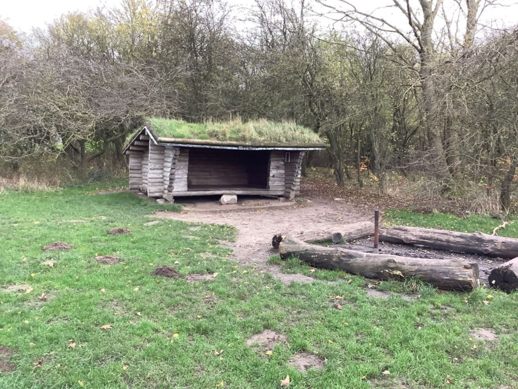
The shelter belongs to Aarhus Municipality and can be booked via [Book Naturen](https://booknaturen.aarhuskommune.dk/sted/shelter-paa-vestereng/)
The shelter site is located on an open grassy area at the edge of the forest on Vestereng. There are good opportunities for various activities on the large grassy area. A campfire site has been set up in front of the shelter.
Vestereng is an exciting and diverse nature area of almost 60 hectares, surrounded by industrial and residential areas. It is an old military training ground, as evidenced by the many bunkers and ramparts. Vestereng consists of both open grassy areas and old deciduous forest. There is also a disc golf course in the forest. The Magrethe dike from the time of Magrethe I also runs through Vestereng.
Along the new supercycle path there are plantings with various edible berries and fruits.
**Practical information**:
• When you book the shelter, you have automatically booked the corresponding campfire site.
• You must bring your own firewood from home.
• You are welcome to collect dry branches from the forest floor.
• There are no water or toilet facilities at the shelter.
• There is a waste rack next to the shelter.
• There are parking options at the entrance to Vestereng from Bodøvej.
**Route directions**:
• Start at the entrance to Vestereng from Bodøvej. Approximately 200 meters along the road, on the left, there is a parking option. Go past the barrier and follow the road approximately 190 meters to the forest. Continue straight through the forest. After approximately 220 meters you will come to a T-junction - keep right. After approximately 90 meters there is a small path on the left that leads to an open grassy area. Here you will find the shelter. It takes approx. 10 minutes walk from the parking lot to the shelter.
• There are also many other ways to get to the shelter, including from the Skejby Hospital side and the residential area at Olof Palmes Allé.
**GPS**: 56°11'12.8"N 10°10'58.9"E
Features
- Sleeps 8
- Nearest natural water: 178 m
- Nearest road: 137 m
Location
56.186809, 10.183249 - Open in Google Maps