
Shelter
Shelterplads i Lisbjerg ny skov - fem stk.
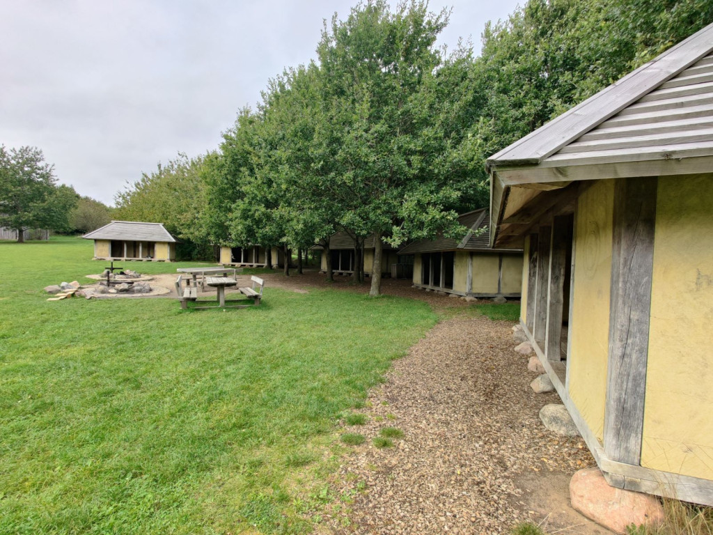
The shelter belongs to Aarhus Municipality and can be booked via [Book Naturen](https://booknaturen.aarhuskommune.dk/sted/shelterplads-i-lisbjerg-ny-skov-fem-stk/?s1=3012&s2=20/01/2026)
The shelter site consists of 5 shelters, located in a semicircle facing two associated campfire sites.
The site is established with the Iron Age as its theme and designed as a small village community entrenched behind a palisade fence with a moat and entrance gate. There is a lookout tower located at the highest point in the area, so you can easily get an overview of the whole thing. The area also contains an obstacle course, called Kimbrerdalen.
For events with more than 45 participants, it is also recommended to book the campfire site "Kimbrerdalen".
The new part of Lisbjerg Forest is a nice combination of forest and open landscape with plains, lakes, gravel pits and winding roads. Two marked hiking trails provide a good opportunity to explore the area.
**Practical information**:
• When you book the shelter site, you have automatically booked the associated campfire sites.
• You must bring your own firewood.
• You are welcome to collect dry branches from the forest floor.
• There are waste racks at the shelters.
• There is a primitive forest toilet in the planting behind the shelters.
• There is no water on the site.
**Route directions**:
At the entrance to Lisbjerg Skov from Elevvej there is a parking lot. There are signs for Lisbjerg Skov and Elevvej no. 23. Follow the gravel road from the parking lot approx. 200 m. to the north. Where the road divides - follow the road to the right past a red barrier. The shelter site is on the left after approx. 200 meters. It is approx. 10 minutes' walk from the parking lot to the shelter site. Parking must be done in the parking lot.
**GPS**: 56°13'36.7"N 10°10'17.9"E
Features
- Sleeps more than 15
- Nearest natural water: 28 m
- Nearest road: 254 m
Location
56.226818, 10.171774 - Open in Google Maps