
Shelter
Nim Kano- og Shelterplads
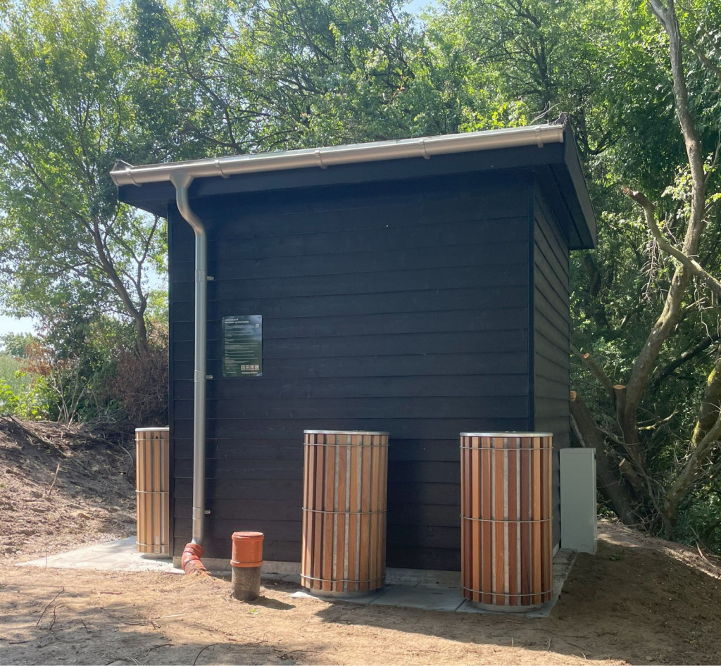
The site was established in 2025, and is aimed at hikers, cyclists, and canoeists on the Gudenåen River.
Watch the video on YouTube here.
**The Shelters**:
Three large and spacious shelters made of solid timber, beautifully integrated into the slope.
Next to the shelters there is a campfire site, with accompanying table and bench sets.
There are 7 spaces in each shelter, which can be booked in advance.
A space in the shelters costs **50 kr per night per space.**
If you have booked shelter spaces, you have priority access to the spaces.
If the space is not used before 7 pm, the space will be given to the first come, first served.
Booking is done via Horsens Municipality's website
Please note that you must be registered as a user first.
Payment is made via MobilePay (**35252**) to Nim Borgerforening.
GPS coordinates for the shelter site: 55.939743, 9.663374
**Canoe facilities**:
There is a jetty and a towpath for canoes, and there are shelves on land for storage.
This is not a loading and unloading point for canoes.
**Toilet and drinking water:**
A modern multi-toilet has been established as well as a tap with fresh drinking water.
The tap is closed when the temperature approaches freezing point.
Here you also have the opportunity to dispose of waste in the waste racks - just leave your footprints!
**Fires, firewood and the fine print:**
Fires may only be lit at the 3 equipped fire pits.
Firewood can be purchased at the site.
Setting up tents is not permitted.
The site is not wheelchair accessible.
**Access road**:
Due to the area's layout and beauty, there are no parking spaces, so arrive on foot or by bike.
Follow the path/wheel tracks from Porskærvej (GPS: 55.93754 9.66438). Walk along the hedge.
**Nearest shopping**:
Min Købmand in the town of Nim (approx. 3.5 km)
Præstevænget 13A, 8740 Brædstrup
**Gudenåstien – from source to fjord**
The shelter site is located along the Gudenåstien. The hiking route extends over 170 km from the source in Tinnet Krat to the mouth of Randers Fjord, as it connects existing paths such as Trækstien and Himmelbjergruten to one long route along Denmark's longest river, the Gudenå. The trail is expected to be inaugurated in the spring of 2026.
*Outdoor greetings from the Nim Citizens' Association*
Features
- Drinking water
- Booking possible
- Sleeps more than 15
- Nearest natural water: 10 m
- Nearest road: 1 m
Location
55.939824, 9.663271 - Open in Google Maps