
Shelter
Resdal Baune Shelterplads, Sørvad
Book: <a>Self-service</a>
The shelter site is located in a 15-hectare hilly forest area that has had a long historical significance.
Resdal Baunehøj is located in the middle of the forest at an altitude of 84 meters above sea level. Previously, the area's party ground was a gathering point for many events. The old railway track from Sørvad to Ørnhøj is also located in the forest and is now used for walks. There is also a 2.5 km hiking route and a 4 km MTB track. By the parking lot is the old shooting range, which is still used a few days in the spring. The shelter site is located in a very steep slope down to the party ground on one side and on the other side it is located right next to an open field with a beautiful view to the east and north.
It is also a site very close to the forest, meaning that as much undergrowth as possible has been retained. There is a barbecue hut with 2 tables and benches.
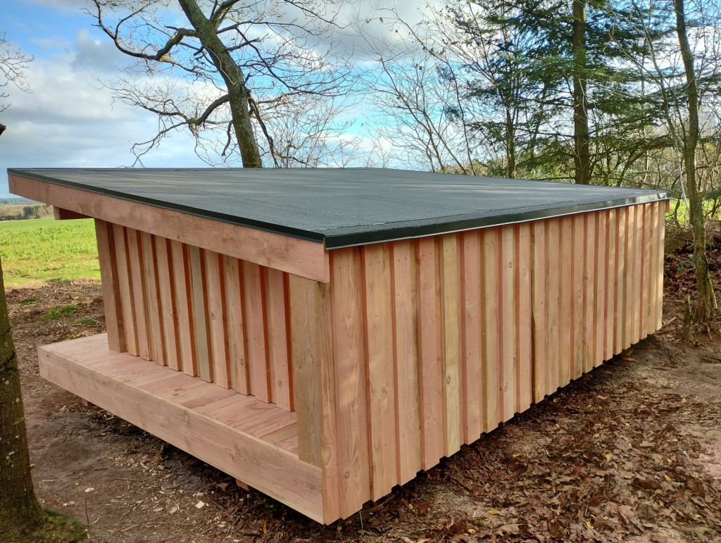
The shelter site currently has 3 shelters with 4-5 beds each.
2 of the shelters are located on the edge of the forest with a beautiful view to the east.
These 2 shelters each have their own campfire site.
The 3rd shelter is located in dense forest with a view directly into the trees. The forest shelter does not have its own campfire site.
There is a water tap at the parking lot. There is a compost toilet.
The site is not suitable for disabled people.
Address: Agerfeldvej 2A, 7550 Sørvad
Features
- Drinking water
- Booking possible
- Sleeps 12
- Nearest natural water: 823 m
- Nearest road: 510 m
Location
56.265592, 8.631788 - Open in Google Maps