
Shelter
Vedsted, Det Grønne Hjørne
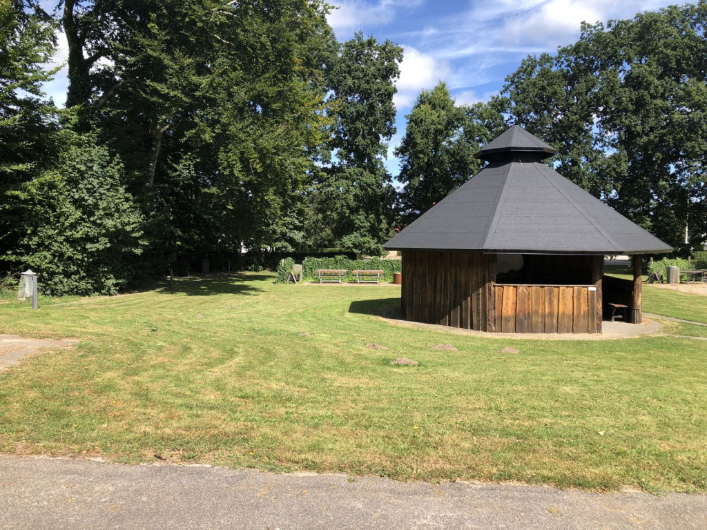
<span style="background-color: rgb(255, 255, 255); color: rgb(0, 0, 0);">Surrounded by tall trees, there are four shelters with access to tables, benches, bonfires and even a petanque court. If you want to use a barbecue and stand in dry weather, you can use the bonfire hut.</span>
<span style="background-color: rgb(255, 255, 255); color: rgb(0, 0, 0);">In the bonfire hut you will also find maps and information boards about Vedsted and the surrounding area. A region that, in a concentrated area, embraces the diversity of southern Jutland's nature and culture in a very distinctive and varied landscape, shaped by where the ice was during the last ice age. Large hills with deep lakes to the east and flat heath plains and bogs to the west. In the middle of these natural gems lies Vedsted with ancient and historical memories that tell us that people have used the diversity of the landscape and nature here for centuries, even millennia, as a hub between east and west and north and south.</span>
<span style="background-color: rgb(255, 255, 255); color: rgb(0, 0, 0);">Reservation not possible, as accommodation is free.</span>
**Toilet and water:**<span style="color: rgb(0, 0, 0); background-color: rgb(255, 255, 255);"> 50 meters (in the Community House)</span>
**Shopping:**<span style="color: rgb(0, 0, 0); background-color: rgb(255, 255, 255);"> 100 meters Letkøb, Vedsted</span>
**Swimming:**<span style="color: rgb(0, 0, 0); background-color: rgb(255, 255, 255);"> 300 meters to Vedsted Lake</span>
Features
- Drinking water
- WC toilet
- Sleeps 4
- Nearest natural water: 334 m
- Nearest road: 1 m
Location
55.195568, 9.365883 - Open in Google Maps