
Shelter
Pastor Møllers Shelterplads
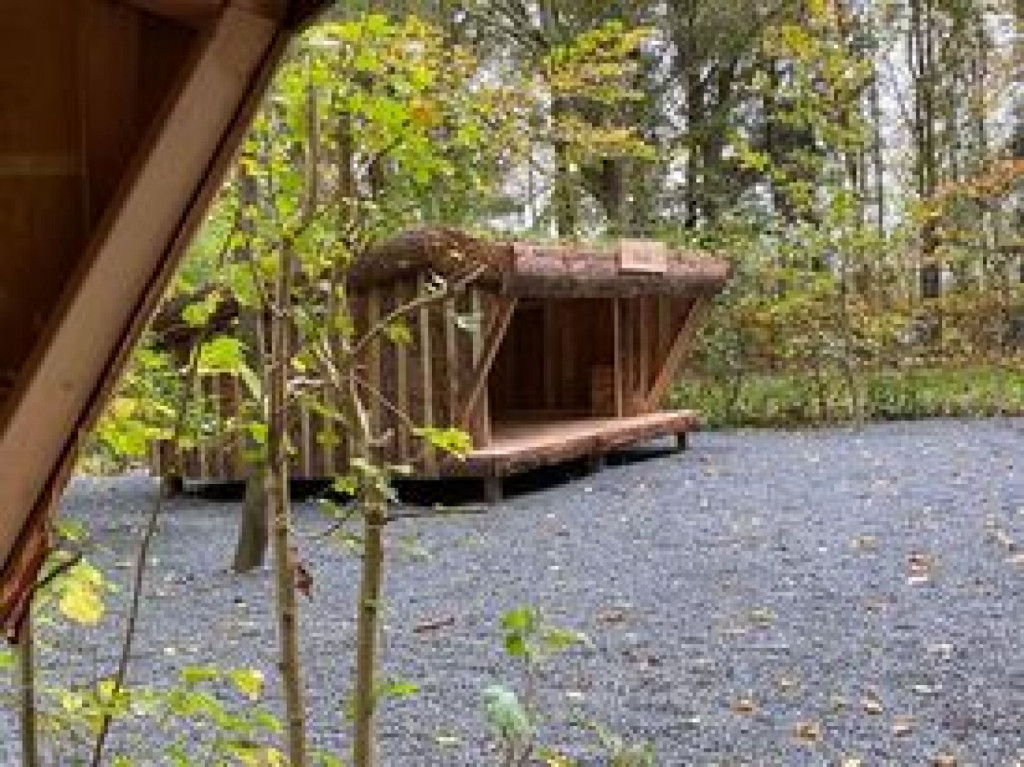
Between tall trees, you will find three shelters with room for six, six and four people respectively, located around a stone-paved fire pit. There are benches around the campfire and will be supplemented with a grate. It is not permitted to collect wood or cut trees for bonfires. Firewood can be bought on site or at the same time as booking.
Booking takes place via the page <https://bookenshelter.dk/vadehavet/shelterplads/pastor-moellers-shelterplads/>
There is access to water and a toilet at the park's main entrance, although not during the winter period. In addition, the toilet at the church (500 metres) can be used all year round.
Groceries can be purchased at Min Købmand (500 metres) every day of the year.
Visby Park was established by the former priest in Visby, Niels Møller, around 1920 and was originally called Pastor Møller's Garden. The garden started as a utility garden, and was supplemented with rare trees, elaborate beds, named paths and sculptures by the small stage. Niels Møller built the house Trosalta as a residence for himself and his wife Christine when he had to resign from his priestly duties. The priest couple is buried in the park, near the shelter site. To commemorate the park's founder, the shelters are named Niels, Christine and Træsalta.
On his death, Niels Møller handed over the garden to the then Visby Parish as a future "people's garden". Visby Park is now owned by Tønder Municipality, but is maintained and developed primarily by local enthusiasts, and the park is developed with respect for both history and present-day needs. The shelter site was created in collaboration between Visby Local Council, the YMCA scouts in Visby and other local volunteers. Tønder Municipality and the Nordea Foundation have supported the project financially.
Thank you for visiting our park and leaving it neat and tidy.
Praise and praise for Pastor Møller's Shelterplads is welcome. Send an email via the link to visbynet.dk.
Features
- Drinking water
- Booking possible
- Sleeps more than 15
- Nearest natural water: 141 m
- Nearest road: 34 m
Location
55.006903, 8.774392 - Open in Google Maps