
Lunch shelter
Lunch shelter near Unterer Katermannshaldeweg
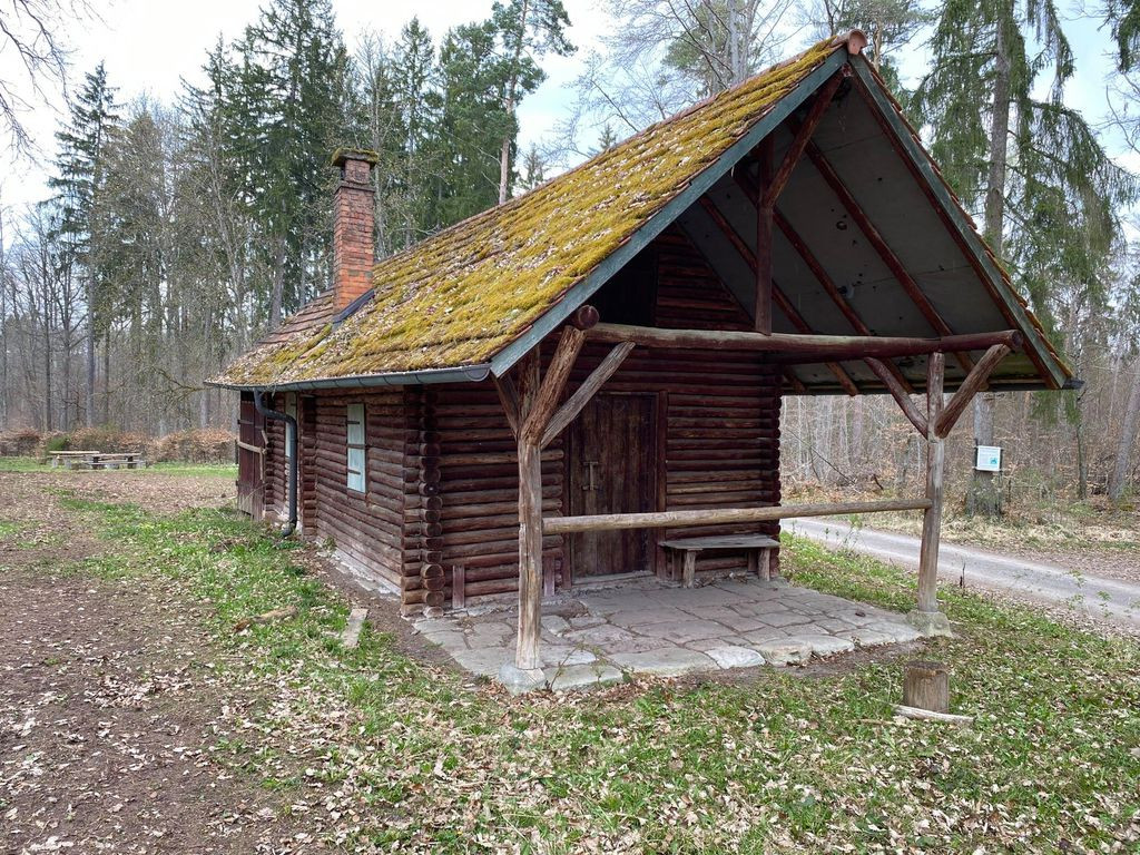
Coordinates: 48.58096°, 8.96830° BBQ or Fire Pit: Yes Garbage can: No Toilet: no Drinking water: no Accessible by bike (possibly instructions): Yes Sleeps: max. 5 people Camping possible: theoretically On hiking trail/cycle route(name?): Yes Other info: locked hut with veranda; at the back of the hut there is a shed with room for five people. It is questionable whether it is permanently accessible.
Features
- Firepit
- Nearest natural water: 1975 m
- Nearest road: 972 m
Location
48.58096, 8.9683 - Open in Google Maps