
Shelter
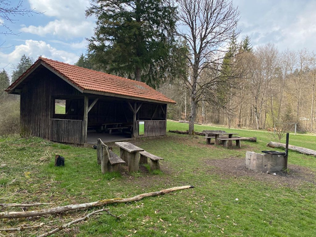
Lean-to Kayhertalwiesen
Coordinates: 48.58832°, 8.95324°
Barbecue or fireplace: Yes
Rubbish Bin: No
Toilet: No
Drinking water: No
Accessible by bicycle: Yes
Sleeping possible: many
Camping possible: Theoretical
On hiking trail/bike route (name?): Yes
Other information: barbecue area with hut and a lot of space, little creek nearby
Features
- Firepit with barbecue
- Nearest natural water: 10 m
Location
48.588336, 8.953192 - Open in Google Maps