
Lunch shelter
Kapelle „Achtsam am Weg“
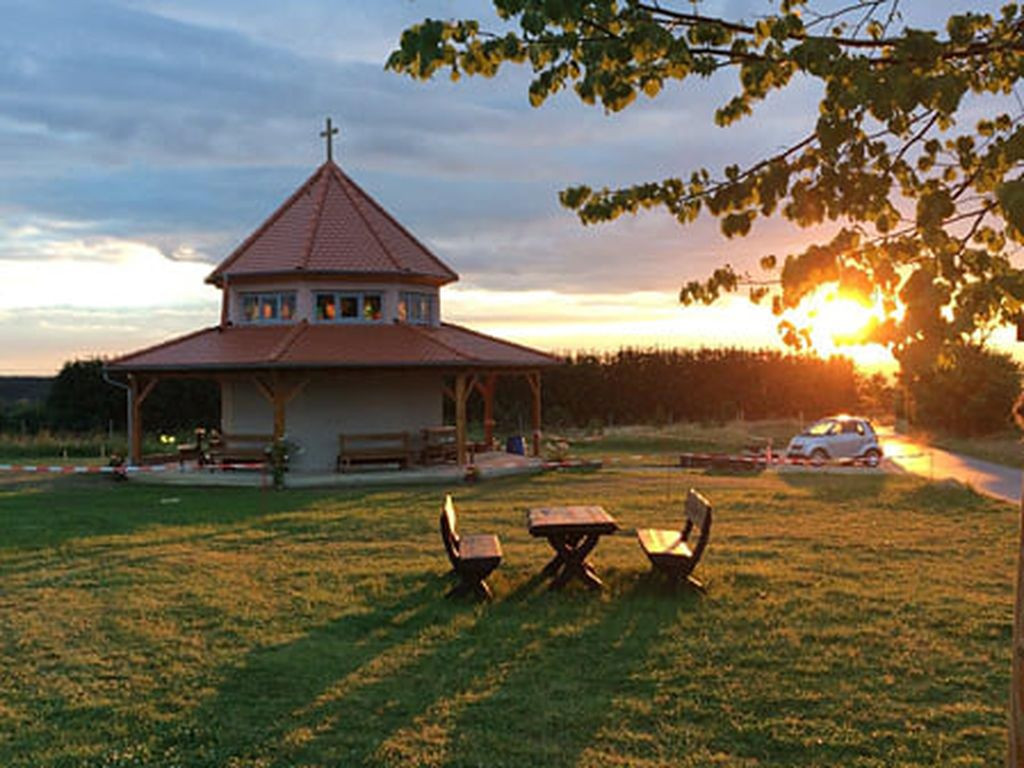
Coordinates: N49° 38.998' E11° 06.558' Barbecue or fireplace: no Garbage can: no Toilet: no Drinking water: water pump, drinking water? Accessible by bike: yes Sleeps: 8 people Camping possible: yes (set up late + start early) On a hiking trail/cycle route: On the Upper Franconian Way of St. James south of the village of Effeltrich. Other info: Chapel with floor plan in the form of an octagon.
Features
- Nearest natural water: 421 m
- Nearest road: 785 m
Location
49.649967, 11.1093 - Open in Google Maps