
Shelter
Schutzhütte Keiler Landgrafenberg
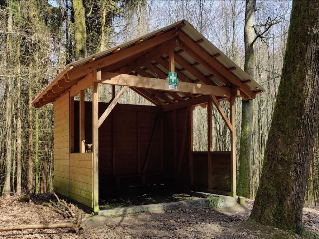
Basic hat with a bench.
A sign reads: Approach point for rescue vehicles (HG-13).
Features
- Nearest natural water: 165 m
Location
50.241105, 8.527265 - Open in Google Maps
Shelter
Basic hat with a bench.
A sign reads: Approach point for rescue vehicles (HG-13).
50.241105, 8.527265 - Open in Google Maps