
Other
Observation Tower "Rotes Moor"
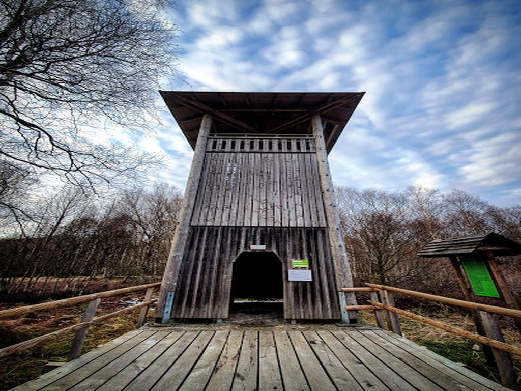
Coordinates: 50°28'12"N, 9°58'33"E
Can be reached by bike: The tower is in the middle of a moorland - a narrow wooden walkway leads to the tower, only for pedestrians...so,yes, you may come by bike eventually 😅
Places to sleep: 3-4 people
Bivouac: No
Official hiking/bicyle trail: : Hochrhöner, Wasserkuppenrundweg
Other information:
You can sleep on two floors. On the first floor (downstairs), you have place for one, maybye two people and it is better sheltered from the wind than the second floor upstairs.
Features
- Nearest natural water: 366 m
- Nearest road: 944 m
Location
50.470169, 9.975964 - Open in Google Maps