
Unknown
59969 - Schutzhütte Heidkopf
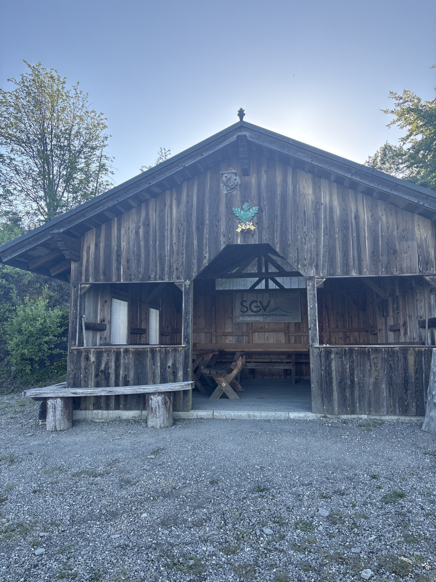
The Heidkopf refuge, also known as the Karl Brandner Hut, is not far from the Heidkopf (704 m above sea level) in the Hallenberg Forest.
Coordinates for the navigation system (WGS 84):
GPS: N 51° 7' 6.5136 E 8° 35' 13.9776
UTM: 32U 471108.993 5663081.016
___________________________________
The facility belongs to the Sauerland Rothaargebirge e.V. Nature Park and is maintained and maintained by it.
However, should you notice any dirt or damage, please let us know by sending an email to [email protected].
(Source: Sauerland Rothaargebirge Nature Park e.V.)
Features
- Nearest natural water: 217 m
- Nearest road: 859 m
Location
51.118933, 8.589742 - Open in Google Maps