
Shelter
5727- Schutzhütte Helberhauser Höhe
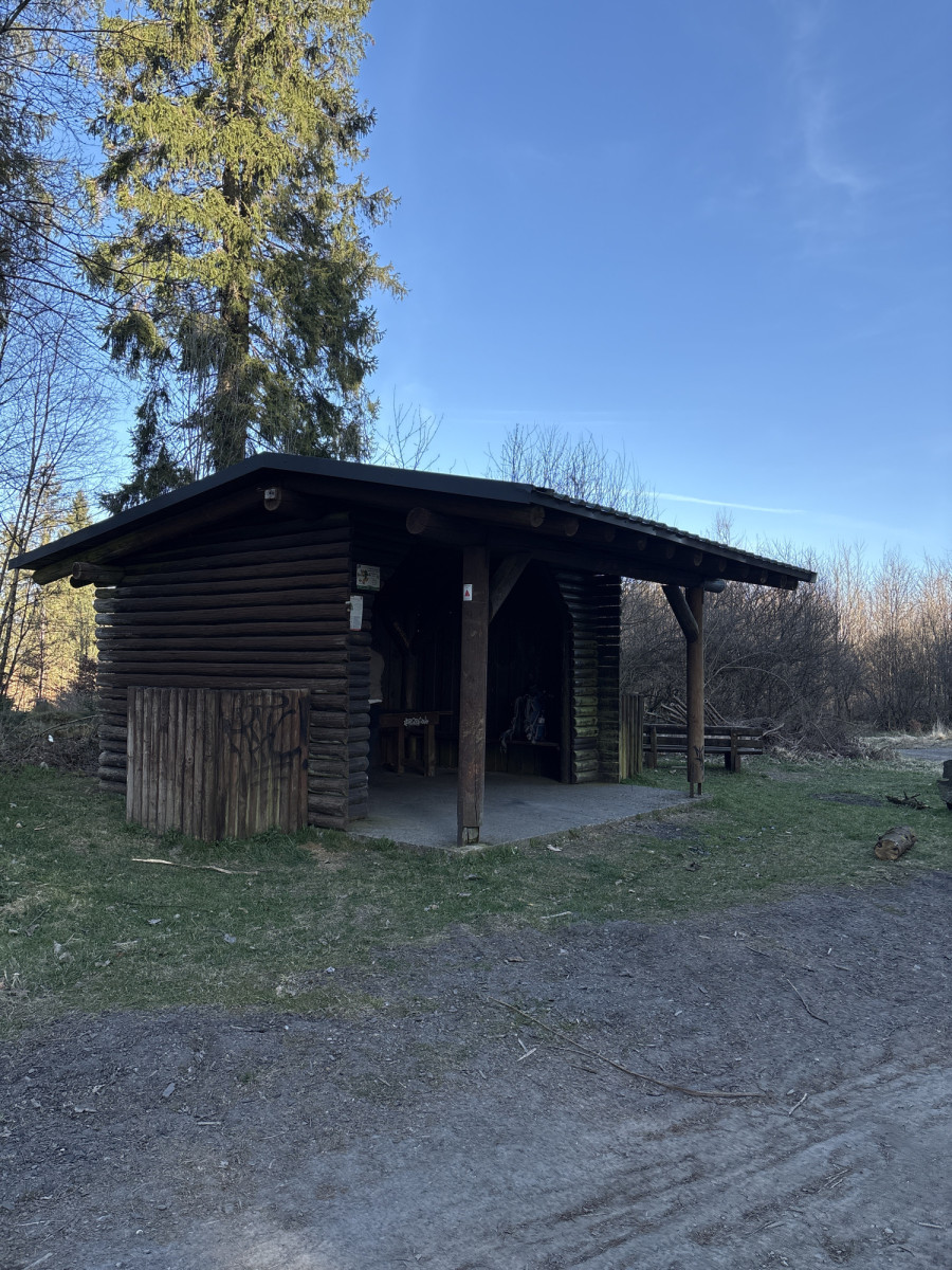
The Rothaarsteig, also known as the "Path of the Senses", leads over 156 km in a north-south direction over the crest of the Rothaargebirge. The 5th stage of the long-distance hiking trail leads past the Helberhauser Hütte.
Access to the Hilchenbacher Höhenring is also possible. A beautiful circular trail of 22 km in length, which is ideal as a day hike with a walking time of approx. 6 hours.
___________________________________
Coordinates for the navigation system (WGS 84):
GPS: N 51° 0' 6.2064 E 8° 9' 37.6344
UTM: 32U 441092 5650352
___________________________________
The facility belongs to the Sauerland Rothaargebirge e.V. Nature Park and is maintained and maintained by it.
However, should you notice any dirt or damage, please let us know by sending an email to [email protected].
(Source: Sauerland Rothaargebirge Nature Park e.V.)
Features
- Nearest natural water: 114 m
- Nearest road: 1 m
Location
51.001724, 8.160454 - Open in Google Maps