
Cabin
5739- Schutzhütte Schneekreuz
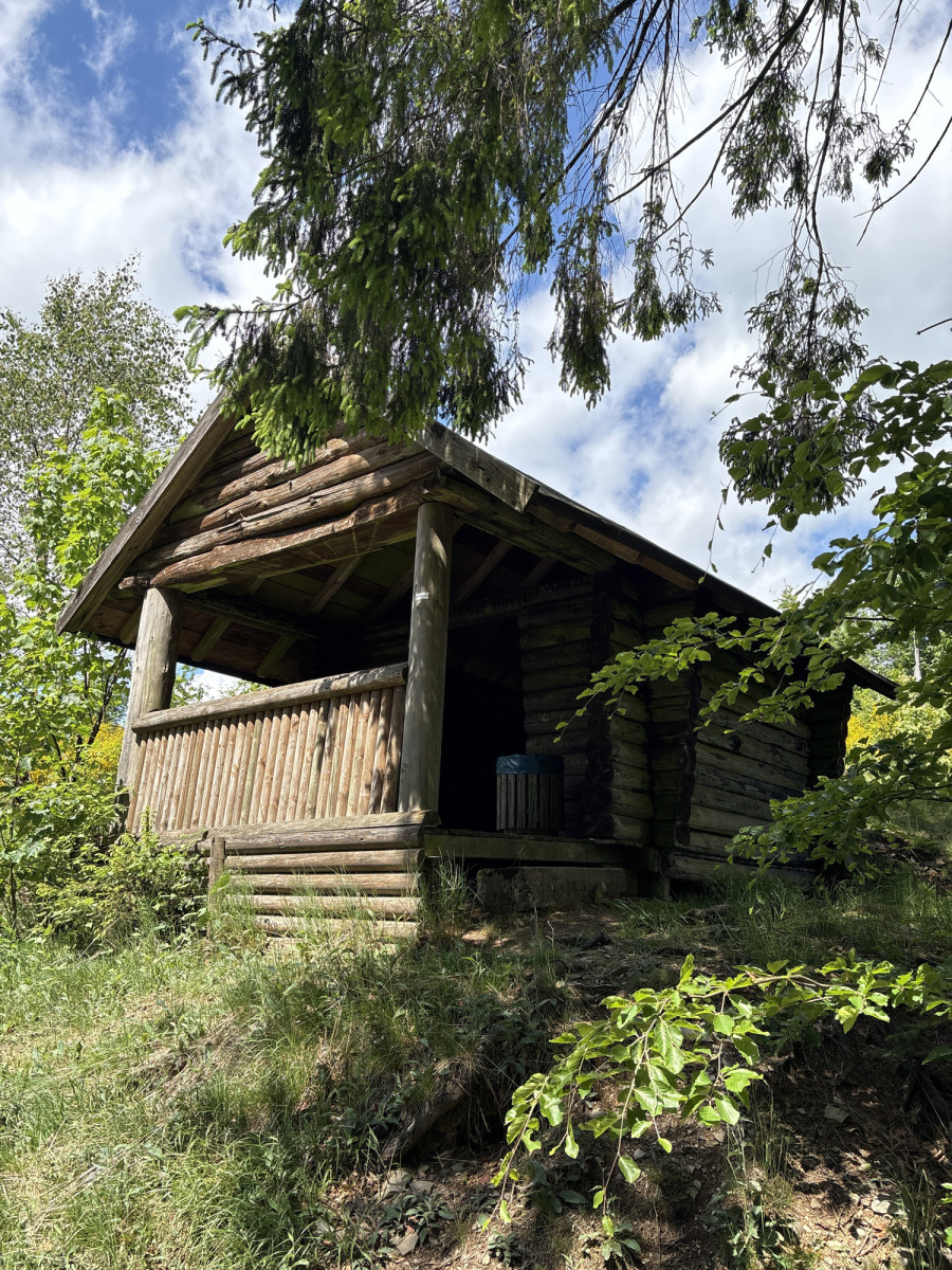
The L 776 leads from Bad Fredeburg over the "Rimberg" in the direction of Meschede. The car park on the "Rimberg" can be the start/finish point for a short hike along parts of the tarred post road to the Schneekreuz refuge.
A variety of hiking trails run through the area, e.g. to Bad Fredeburg or to the Hunau Tower.
___________________________________
Coordinates for the navigation system (WGS 84):
GPS: N 51° 12' 17.6724 E 8° 20' 12.9516
UTM: 32U 453678.16 5672820.87
___________________________________
The facility belongs to the Sauerland Rothaargebirge e.V. Nature Park and is maintained and maintained by it.
However, should you notice any dirt or damage, please let us know by sending an email to [email protected].
(Source: Sauerland Rothaargebirge Nature Park e.V.)
Features
- Nearest natural water: 414 m
- Nearest road: 1 m
Location
51.204909, 8.336931 - Open in Google Maps