
Cabin
59955 - Schutzhütte Ziegenhelle
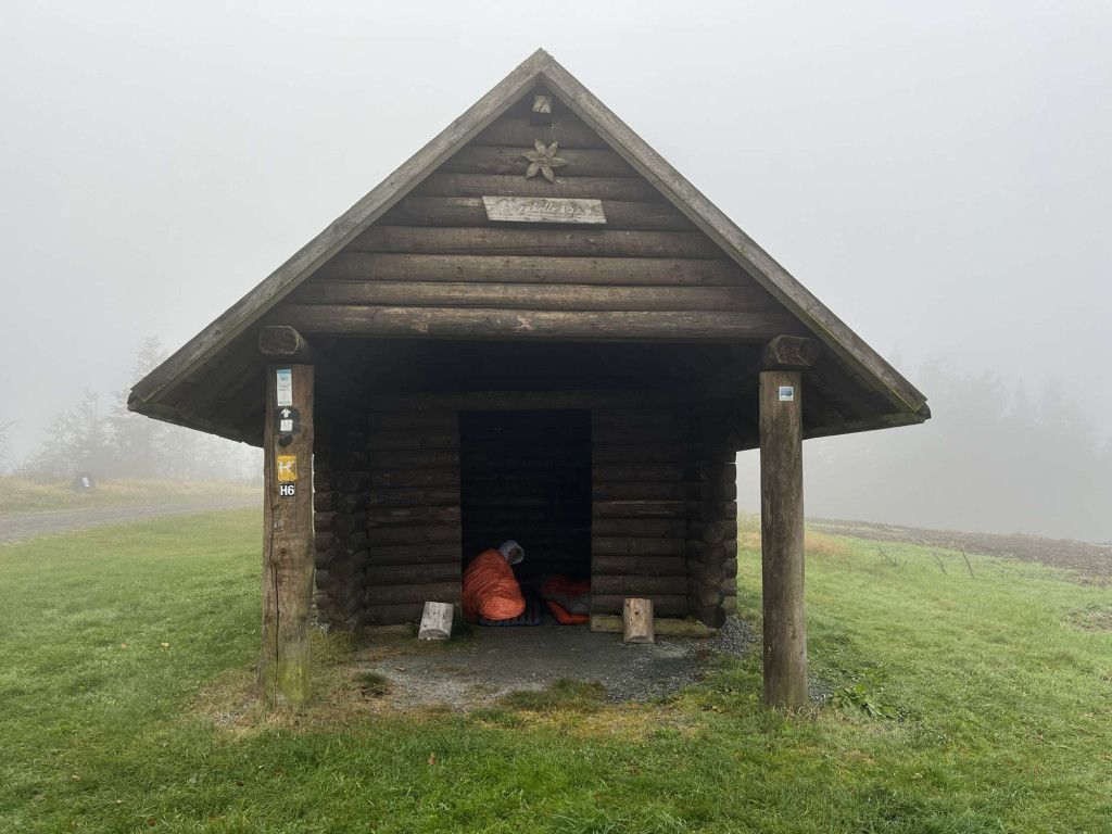
The "Ziegenhelle" refuge is located directly at the Ziegenhelle observation tower at 815 m above sea level. The Winterberger Hochtour, Sauerland Höhenflug and Hochsauerland-Kammweg hiking trails also cross at this summit.
Coordinates for the navigation system (WGS 84):
GPS: N 51° 7' 33.6396 E 8° 31' 46.4088
UTM: 32U 467078.88 5663943.14
___________________________________
The facility belongs to the Sauerland Rothaargebirge e.V. Nature Park and is maintained and maintained by it.
However, should you notice any dirt or damage, please let us know by sending an email to [email protected].
(Source: Sauerland Rothaargebirge Nature Park e.V.)
Features
- Nearest natural water: 201 m
Location
51.126011, 8.529558 - Open in Google Maps