
Shelter
Hut "Junggesellen" Walporzheim
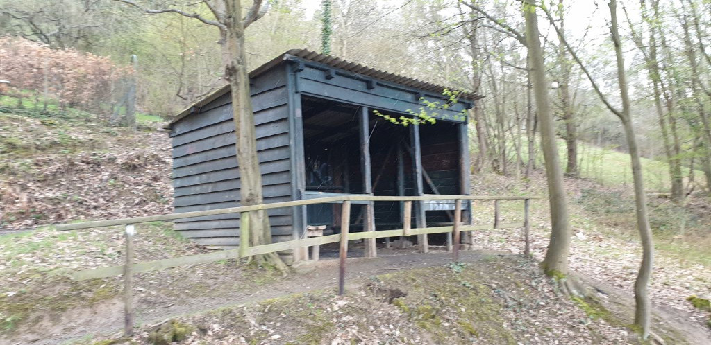
Shelter "bachelor" Walporzheim Coordinates: 50.53010° N, 7.08437° E Barbecue or fire pit: No Garbage can: No Toilet: no Drinking water: no Accessible by bike: Yes, but very steep Sleeps: max. 4-5 people Camping possible: no Lies above the Ahrsteig and can be reached on foot from the Ahrradweg and Ahrtalweg. Below the hut is the district of Walporzheim. There is a small corner shop and a small train station, which is approached twice an hour in both directions.
Features
- Nearest natural water: 72 m
- Nearest road: 162 m
Location
50.5301, 7.08437 - Open in Google Maps