
Shelter
Hut "Old Wall"
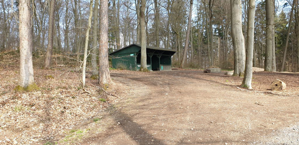
Coordinates: 50.50504° N, 7.10231° E
BBQ or Fire Pit: Yes
Garbage can: Yes
Toilet: no
Drinking water: no
Accessible by bike: Yes
On hiking/biking trail: yes, iron trail (regional)
Sleeps: max. 5-6
Camping possible: no
Other info: Close to sleepy Ramersbach, part of Bad Neuenahr-Ahrweiler
Features
- Firepit
- Nearest natural water: 497 m
- Nearest road: 299 m
Location
50.50504, 7.10231 - Open in Google Maps