
Shelter
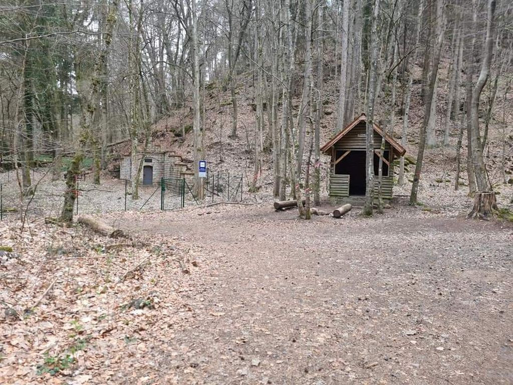
67146 - Schutzhütte Quaderhang-Quelle
Coordinates: 49°23'33.6"N 8°07'22.0"E
Barbecue or fire pit: yes
Drinking water: no, but there is a small stream right next door
Accessible by bike (possibly instructions): yes
Sleeps: max. 3 people
Camping possible: no
Miscellaneous: Is located directly on the fenced area of the water protection area and a country road is in sight
Features
- Firepit
- Nearest natural water: 24 m
- Nearest road: 739 m
Location
49.392667, 8.122778 - Open in Google Maps