
Lunch shelter
Shelter at old baths
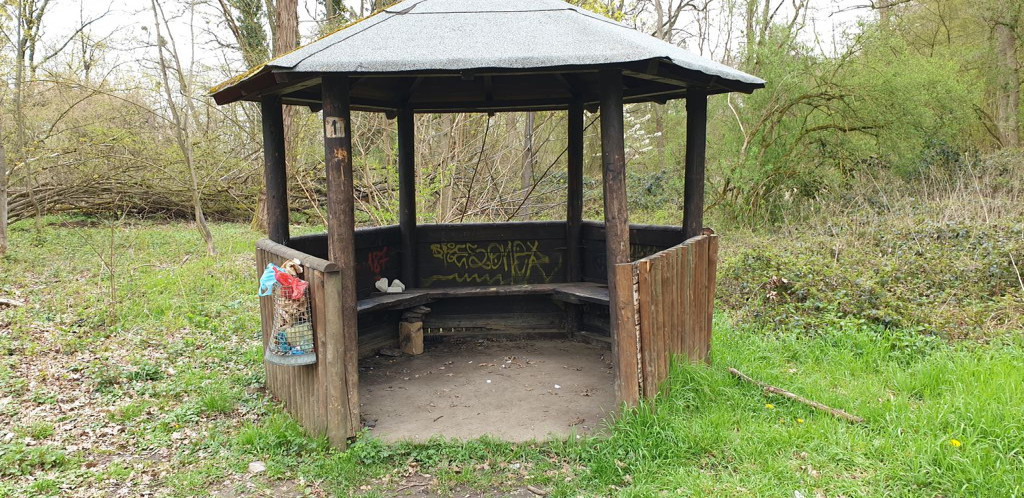
Coordinates: 50.54923° N, 7.22431° E Barbecue or fire pit: No Garbage can: Yes Toilet: no Drinking water: no Accessible by bike: MTB yes, otherwise push Sleeping possibility: max. 1-2 Camping possible: Yes On a hiking/biking trail: No, but within walking distance from the Ahr Valley Trail and Ahr Cycle Trail Other information: Is close to the Ahr = danger of mosquitoes in summer. An orange, iron-rich brook runs in the immediate vicinity.
Features
- Nearest natural water: 31 m
- Nearest road: 108 m
Location
50.54923, 7.22431 - Open in Google Maps