
Lunch shelter
Schutzhütte Urmersbach
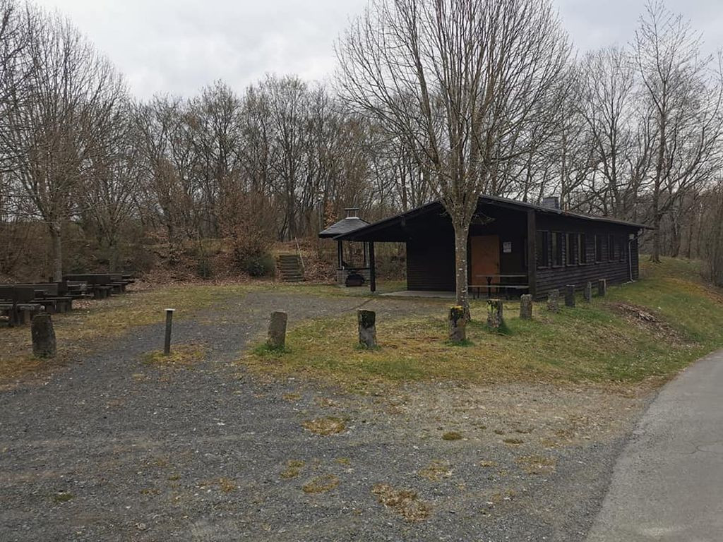
GPS coordinates: 50.256856,7.136570 Type: Shelter Barbecue or fire pit: yes, without grate Garbage can: no Toilet: no Drinking water: no Accessible by bike: yes Sleeps: 2 - 3 Camping possible: yes On hiking trail / bike route: Other information: The hut itself is closed, but under the porch there is room for 2-3 people
Features
- Firepit
- Nearest natural water: 355 m
- Nearest road: 99 m
Location
50.256856, 7.13657 - Open in Google Maps