Map
Germany
Saxony-Anhalt
Oberharz am Brocken
Benneckenstein
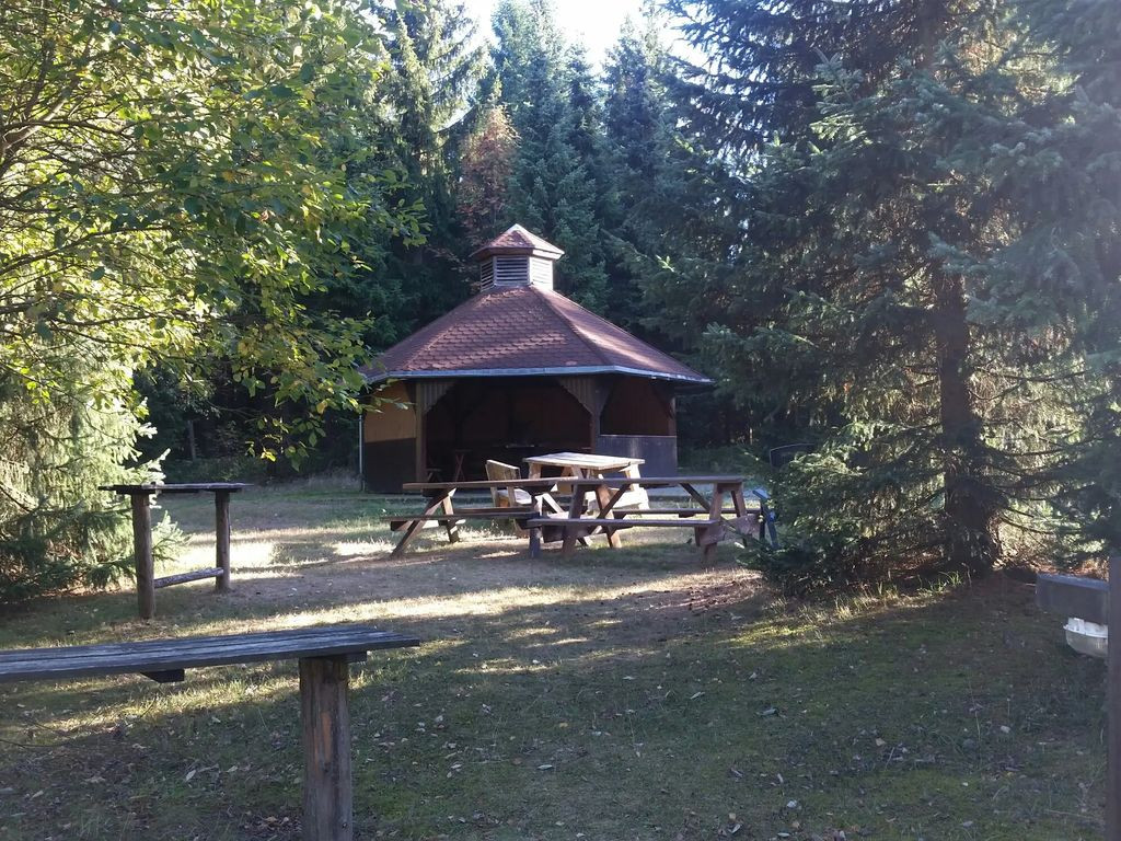
Shelter
Grillhütte
Looks good
Features
Firepit with barbecue
Nearest natural water: 223 m
Nearest road: 447 m
Location
+
Explorer
51.6558, 10.722803 -
Open in Google Maps
Looks good
This place looks reliable, and no issues are known:
Updated 2 years ago
The place is most likely still there
The map position is probably good